We turn public ocean data into farm-level decisions for shellfish growers — where oysters grow best, where disease threatens them, and whether a 20-year lease holds its value as the Gulf of Maine warms.
Dermo and MSX ride warm, salty water north. Growers find out after the die-off. The signal is in public buoy data. Nobody delivers it.
One rain event spikes fecal coliform and the harvest stops. Maine DMR tracks 994 stations across the coast. Growers navigate this without a map.
A lease is a 20-year capital commitment. The Gulf of Maine warms 3× the global average. There is no tool that scores a parcel over its lease term.
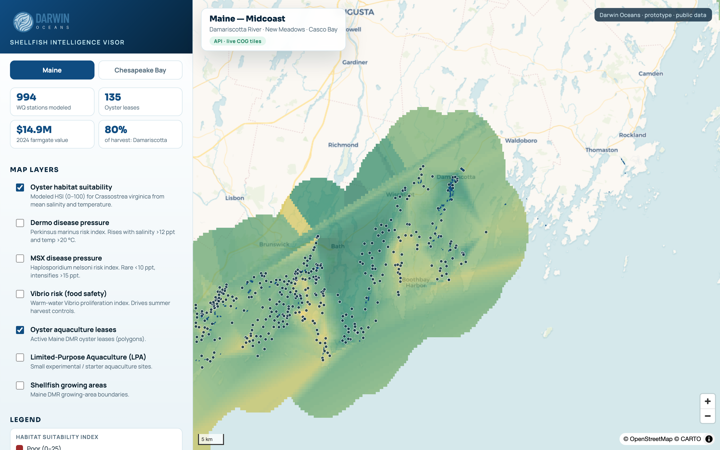
Not a demo. NOAA, Maine DMR and NERACOOS data, live, fused into one map and scored per site.
Each stage funds the next and earns the proprietary data for the one after it.
Public ocean data in one platform. 994 stations, suitability and disease layers, two regions. Live today.
Customers feed proprietary grower outcomes no competitor can buy. The data flywheel starts.
Predicts suitability, disease and closures anywhere on the coast. Licensed by API.
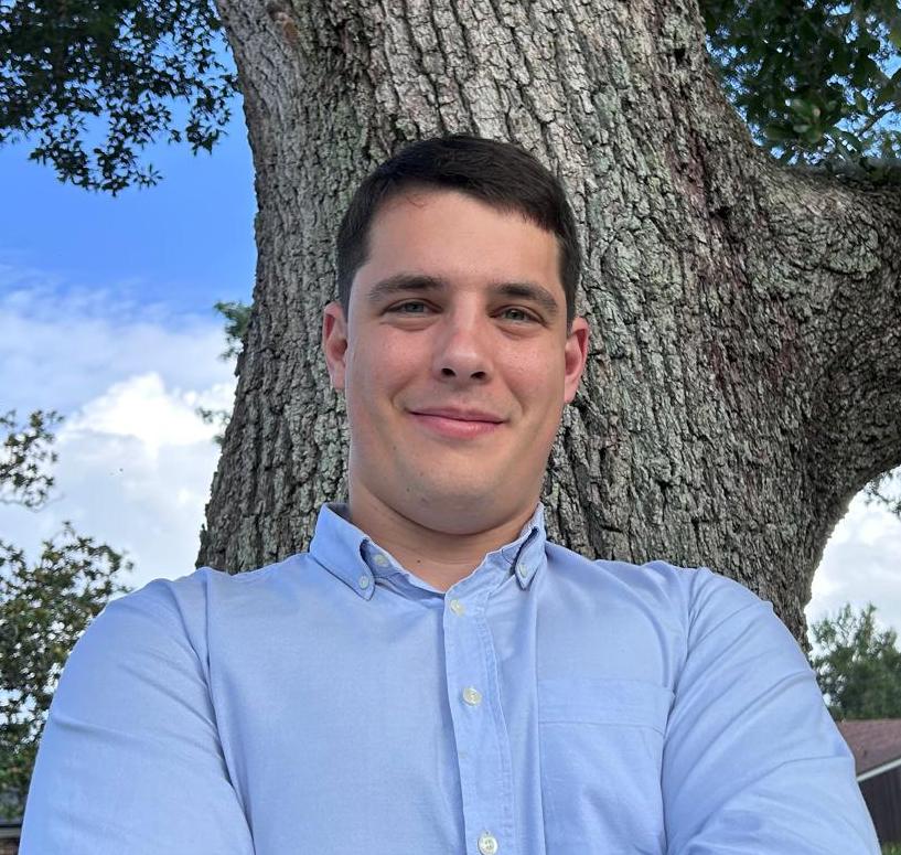
Founder of Darwin Geospatial. Geospatial and ML engineer building satellite-data decision platforms across soil, forests and habitat. Leads product, data and commercial.
Earth and planetary science and software engineering, Johns Hopkins University. Owns the data-fusion pipeline, the suitability and disease models, and the platform and API.
Senior Scientist and Professor, Earth and Planetary Sciences, Johns Hopkins University. Ocean and climate modeling. Guides the science behind our models.